Qatar Geological Mapping Project - Phase II

ACTIVITIES

Task 2 – REMOTE SENSING ELEMENTS

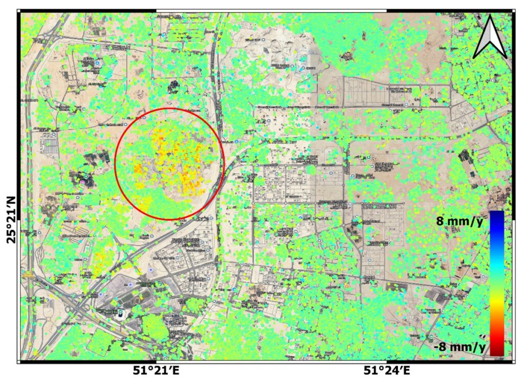
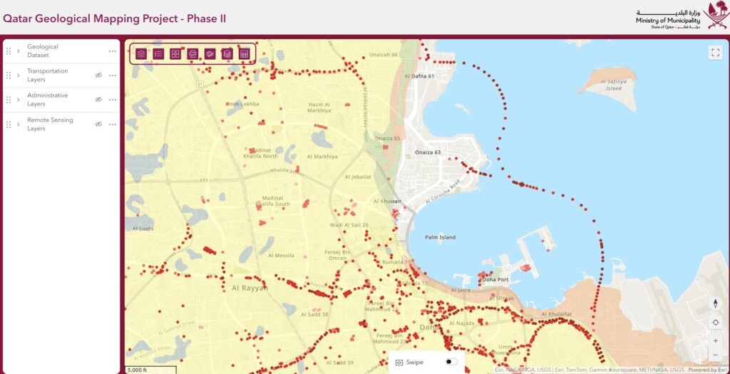
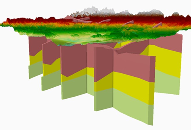
The objective of this WP is to develop and implement a Remote Sensing plan to acquire and process multi-modal satellite data for producing the surficial geological map of Qatar at various scales. 

Task 3 - GEOLOGICAL MAPPING PROGRAM

Task-3 has been designed for the preparation of Geological Mapping of Qatar. In this context, data acquisition, processing, analysis and interpretation of all data is required.

Task 4 – SUBSURFACE INVESTIGATION PROGRAM

Lorem ipsum dolor sit amet, consec tetur adipis cing elit. Ut elit tellus, luctus nec ullam corper mattis, pulvinar dapibus.

Task 5 – DATA INTERFACE ELEMENTS

Design and implement a central Comprehensive Geoscience Data Management System (CGDMS)

Task 6 – 3D GEOLOGICAL MODEL DESIGN, DEVELOPMENT & IMPLEMENTATION

The aim of this task is to develop a 3D geologic model (or models) for the areas of greater Doha, Lusail-Al Khor, Al Wakra-Messaied

Task 7 - PREPARATION OF QGMP DELIVERABLES

Lorem ipsum dolor sit amet, consec tetur adipis cing elit. Ut elit tellus, luctus nec ullam corper mattis, pulvinar dapibus.
Scroll to Top